The history of An Aerial View of Denmark
The aerial photography collection consists primarily of the archives of a number of aerial photography companies as well as public authorities.
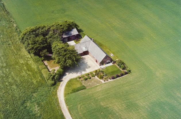
Photo: Sylvest Jensen Luftfoto
The oldest preserved Danish aerial photos were taken from a balloon over Copenhagen on 24 August 1890. However, it was only with the invention of the airplane and the development of photo technology during the First World War that aerial photography gained further importance.
In the 1930s, aerial photography really became widespread, both as a cultural phenomenon with recordings of farms and other buildings in the countryside in the form of so-called oblique photos, and for mapping purposes with vertical photos recorded for surveying.
During the Second World War, private aerial photography was prohibited, and there are therefore only a few aerial photographs from the period 1940-1945 taken by the British and German military.
The period up to 1960 was a heyday for oblique photography, when several private companies photographed the country. In the 1960s, however, the market was saturated and migration from the countryside to the city increased. The customer base became smaller and a number of companies had to close.
After the Second World War, vertical photographs were taken on a large scale for planning purposes and for map production. From the 1960s onwards, there are rich collections of vertical photographs taken both by private companies, the Geodetic Institute, as well as the British and American Air Force.
The collection of vertical photos has been partially digitised, but this does not apply to vertical photos from large parts of Jutland, nor to vertical photos from the Geodetic Institute/Danish Geodata Agency.